
9 July 1867
- Description
-
044-053
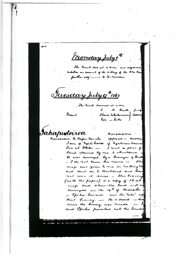
Tuesdaay July 9th 1867
Takapuotoiroa - Karanama
Karanama Te Kapu Kairetu appeared - sworn
I am of Ngatihuia of Ngatiraukawa. Live at Otaki.
I sent a plan of the land claimed by me to Auckland. It was surveyed by a surveyor of Parakaia. I do not know his name. This map was given to me in Wellington and sent on to Auckland and have not seen it since. This tracing (with the papers) is a copy of that map and shows the land. It was surveyed on the 19th of March. 'Epiha Tainui was the 'take' of that survey. He is dead. Died since the survey ws made. I and Epiha pointed out the boundary. The land belonged to us. Epiha sold the land which belonged to us jointly with my sister Ahenata Te Tahawai and Te Wireti. It belonged to us 4 only.
Ahenata and Epiha sold it and took the money and Te Wireti and I did not have any of the money. Epiha took the surveyor to survey the land and I went to prevent the survey. He had a quarrel over it. Afterwards I agreed to have the survey made. The money received by Epiha and Ahenata was supposed to extend over a larger piece of ground than is comprised in this claim but I refused to recognise the sale agreeing to have the survey made of the portion shown on the tracing and to ask the court to divide what portion of the 5 acres wouldbe a fair payment for the £28 paid to Epiha and my sister and to claim a grant for the remainder.
The pegs put in have been removed since the survey. They were removed yesterday by persons who dispute his claim. The sketch does not show the correct boundary of my claim. I have included a small portion of the public property of the tribe in my claim as shown in the map. It is not my map. It is Epiha's map. I pointed out the boundaries with Epiha. It was my intention to get our respective shares apportioned by the court.
Te Wireti
Appeared and stated that he claimed a portion of the land being a portion of the land included in Karanama's claim - that there had been a 'rohe' between their lands for a long time. Did not see the survey.
Tonihi
Stated that he opposes Karanama's claim because his boundary included land which belongs to himself and others. Has seen the survey and I know that a great many people land included on Karanama's claim.
Hearing adjourned to future sitting of the court for want of proper survey of claim.
Kiharoa Town Sections - Kiharoa Mahauariki
Kiharoa Mahauariki - not baptized - stated
I claim the land shown on these sketches (with papers). Two claims are in the township of Otaki. The other two claims are on the Otaki River.
Court proceeded to investigate title to the town allotments containing 1 acre, 2 roads.
Claimant who desired to point out his claim on the map of Township pointed out 9 allotments and in the course of his remarks addressed the court in language for which he was called to order by the court. He continued to treat the court with insolence and was ordered to cease on which he left the court in an insolent manner. (continued pp 83 this book).
Town Sections Otaki - Taumana
Taumana called - did not appear
On appearing stated she wished to withdraw the application. Had been induced to send it in by a pakeha. Huretu had since sold it to Wi Parata and did not wish any investigation of title.
Case dismissed.
Kahuwera - Paramena Pehitana and others
Claimant called - did not appear
Moroati appeared and applied for adjournment to future sitting. No survey having been made. Adjournment granted.
Tutangatakino - Te Watene Te Whenua
Claimant called - did not appear
Erana Tuporo appeared and stated that she was a counter claimant.
The land had not been surveyed by herself or by Watene.
Hearing adjourned to a future sitting of the court for want of survey.
Town allotments Otaki - Onehimu Atutaki
Claimant called - Did not appear.
Te Kepa Kerikeri - appeared as counter claimant
I claim the land. Onehimu has had no survey. I have not and have no plan to produce before the court.
The court ordered adjournment of hearing to future sitting of the court for want of survey.
Pokawhenua - Mihaka Tumuakirangi
Applicant - appeared
Stated that the land was part of a Native Reserve which had been brought under the Native Reserves Act of 1856 and he wished to withdraw his application for investigation.
After an endeavour to explain the portion of the court with reference to claim the applicant could come to no decision as to whether to ask for an adjournment or to withdraw application.
The court decided to adjourn hearing of case to next sitting of the court at Wellington to the 19th August.
Court adjourned for 1 hour at 1.30 pm.
Court resumed sitting at 2.30 pm.
Paremata - Oriwia Hurumutu and others
Adjourned case from last sitting.
Oriwia Hurumutu - sworn
Ngatitoa. Live at Otaki.
The land the subject of my claim has been surveyed by Mr. Knight. The tracing before the court is copied from Mr. Knight's plan. This is the plan given by Mr. Knight to me. I claim the whole of the land shown on the tracing - described boundaries. The pegs are now standing. I claim this land as land which my 'matua' occupied on their coming here from Kawhia. Tungia, Te Horo Te Koto, Nopera, Te Hiko, Te Raupatu, Maka, Hohepa Tongarewa, Kiharoa, Tepene Te Rakahere, Hohepa Tamaihangia, Te Ahimua, Te Ngohi. This piece was cultivated by them.
The 'pa' was on the other side of the river - there were cultivations. They lived at the Pakakutu. There was no division but all cultivated together.
The survivors of these are myself, Ko Nopera, Hohepa Tamaihengia, Nga Huka - my younger sister and Matenga - son of Te Hiko me Wi Parata tama a Te Waipunahou - a cousin of Te Hiko.
Ngatitoa is the hapu and these are all the survivors of the people who cultivated on that land.
Ropata's claim is through me only. Reupana's claim is through my aunt who was his wife Wikitoria Huruhuru. Wikitoria is alive and has a claim. Rakopa has no claim - her piece was left out at the time of the survey - land is excluded. Also Nga Hoia's. Te Waka Pekeia is out side also Te Naihi's also.
Maraka Ngatokorua is a claimant - a relative of my mother's - Makiri who is dead. Reupena and Wikitoria have cultivated. They ceased to cultivate in the year of the Wairau Massacre 1841. No one has cultivated since up to the present time. I cultivated there when my 'matua' occupied and cultivated there.
Charles Godfrey Knight - Licensed surveyor - sworn
I surveyed the land shown on the tracing. It is a copy of my plan. I was empolyed by Oriwia to make it. There was opposition to the survey but the survey was not actually interrupted. I do not know who were the opposing parties but there was a great deal of disputing.
Tamihana pointed out the line from A to B as his boundary and claimed the land north of it also the line B to C claiming the land lying north west of it.
Thompson pointed out his boundary after the survey for Oriwia was completed. I cannot recollect whether Oriwia was present or not at the time.
I believe Moroati also opposed the survey but did not point out his boundary. Withdrew his opposition on the understanding that his laim was to be surveyed afterwards. I am certain that Moroati's claim would conflict with Oriwia's. I ko not know whether it would conflict with Thompson's. The survey was made in July of last year. Horomana Toremi pointed out the boundary where it adjoins his claim. I surveyed Horomona's claim.
Oriwia put in the pole at Te Uruti. Oriwia was present when the peg was put in at the point C but there was a great deal of disputing about it. She pointed out all the other boundariesl Survey has been paid for.
I am aware that the tracing is not on the scale required by the rules. The whole of the boundaries were distinctly marked on the ground at the time of the survey. The angles pegged and lockspitted and the boundaries shown to me are as shown on the tracing.
Maika Takarore - sworn
Ngatiraukawa. Live at Otaki.
I understand the map. I know that Oriwia has had a piece of land surveyed near theWaiariki. Was present at the survey by the Maori's. I did not see the survey by Mr. Knight. I know nothing of the survey by Mr. Knight nor have I seen the pegs. I know that Oriwia has land there. There was a 'rohe' between Ngtiraukawa and Oriwia which was agreed upon on one occasion. I was present when it was fixed. This was before Mr. Knight came here to survey. Pegs were put in but I do not know whether they have been removed by Oriwia or not. I know that Oriwia has encroached upon Ngatiraukawa's land since that arrangement because I have seen the 'pou' inside Ngatiraukawa's boundary. She agreed at the time to the boundary which was fixed by all of us. I know the boundary between Ngatitoa and Ngatiraukawa.
Court adjourned at 4.30 till tomorrow.
Identification
Related items


Creation
- Created By
Object rights
- License
- Attribution + Noncommercial + ShareAlike