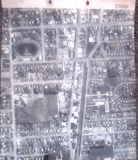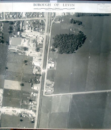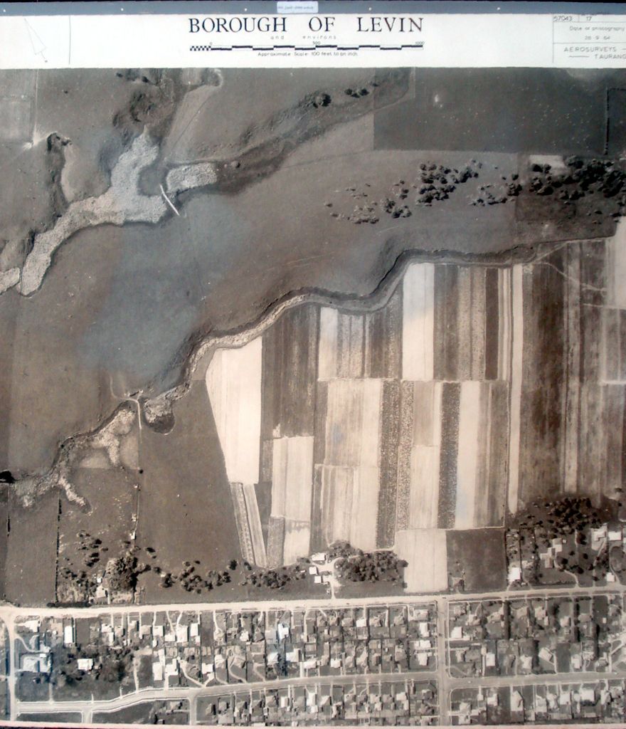
Printed with black ink above photo, from left to right - - at left – an arrow pointing upward to the left, indicating the direction of North. - at centre - Borough of Levin and environs. [figure, a length scale] Approximate Scale: 100 feet to an inch. - at right - Serial No. 57043 Set No. 17 Date of photography 28.9.64 Aerosurveys – Tauranga.
Has fabric backing (for stiffness & added strength) with fabric tape around edges (to reduce damage to edges during handling) and mounted at top in steel bar (similar to those used in filing cabinets).
See also – Acc. #2001.098.0035 smaller copy.
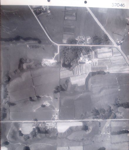
5th photo (of 6) on 3rd ‘track’ 1 B&W photo print
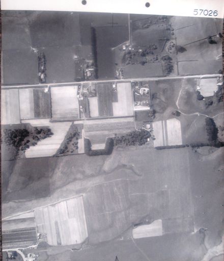
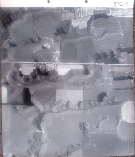
Farmland. Kawiu Road (below centre, left to right) with part of urban Levin (bottom). Tiro Tiro Road (bottom left).
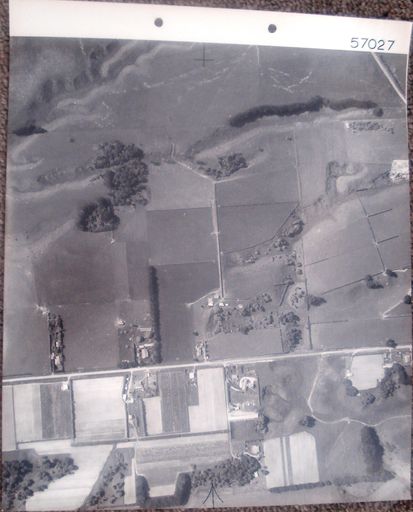
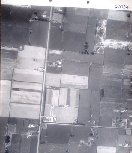
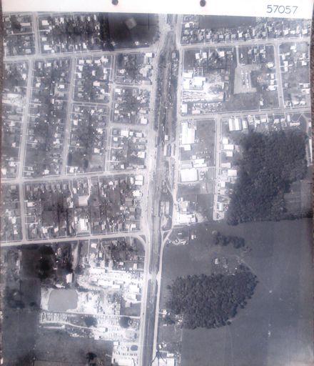
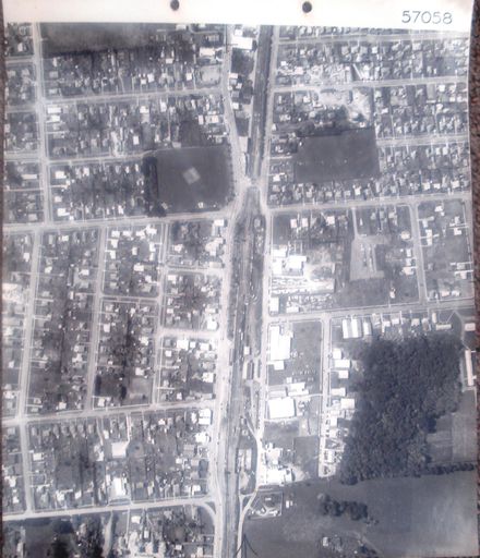
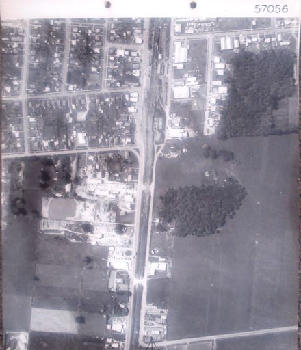
3rd ‘track’ (6 photos) – begins north of Bolton Road and ends at Lindsay Road.
See also – Acc. #2001.098.0035 smaller copy.
Any use of this image must be accompanied by the credit “Horowhenua Historical Society Inc.”