
 https://d28dhd8eubcyz4.cloudfront.net/iiif/2/curtis-production2-cache%2F6210%2F4%2Fd%2F5911ba-b847-4de6-9e76-839bc5fca0dd%2Fresize_master_f33b701a626cc2c20039112ef9364a7c.jpg/full/!880,1024/0/default.jpg?sig=894c063552e81ec64a90d09f669368c2fce16f79&ver=1580151173
Aerial survey photograph (western Levin) 4th 'track'
- Description
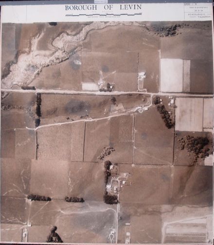
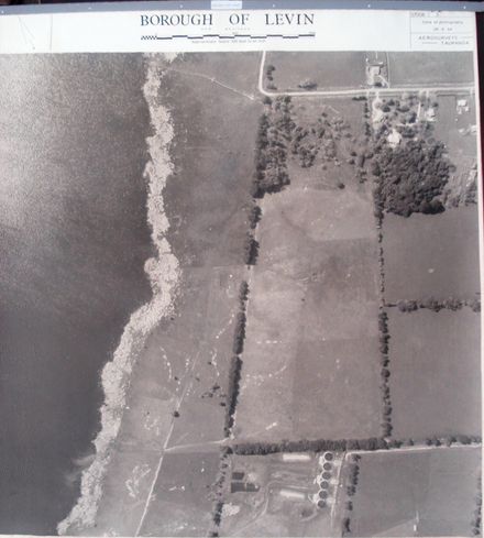
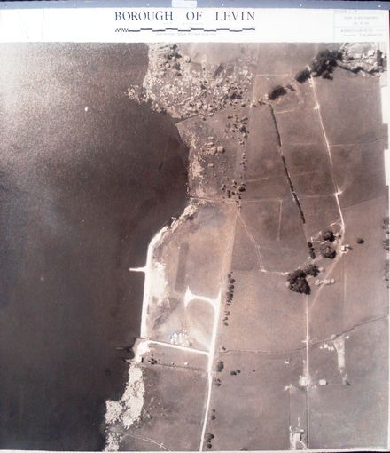
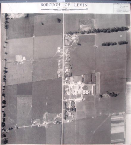
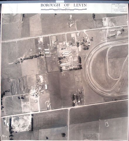
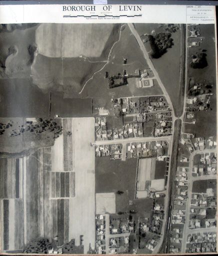
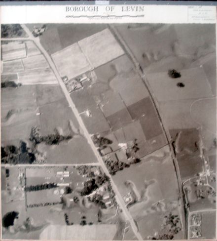
Printed at top right of photo, as identification number – 57061 + Printed at top of photo to indicate centre of next photo in sequence. ^ Printed at bottom of photo to indicate direction of flight path when photo taken.
Stamped on back with black ink - AEROSURVEYS, Tauranga. Churchill Buildings, Grey Street. Telephone 57. P.O. Box 231. 28 SEP 1964. Approx. Scale: 4 chs. to an inch.
Fabric tape glued at top, on back (for tear resistance) with 2 holes punched for placement in ring-binder.
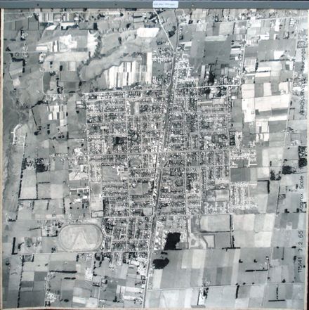
9th photo (of 9) northern-most on 4th ‘track’ 1 B&W photo print
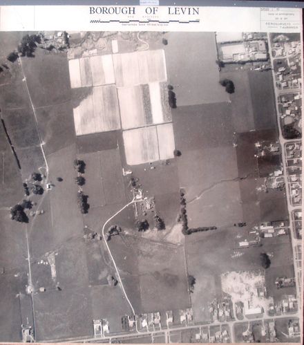
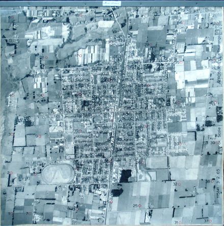
Urban Levin. State Highway 1, Main Trunk Railway Line & Cambridge Street (centre, top to bottom). Weraroa Road (left, top to bottom). Queen Street (top, left to right). Levin Domain (top left). St Joseph’s School and adjoining Levin School & their playing fields (left). Levin Gas Works & Cambridge Street Park (bottom, right).
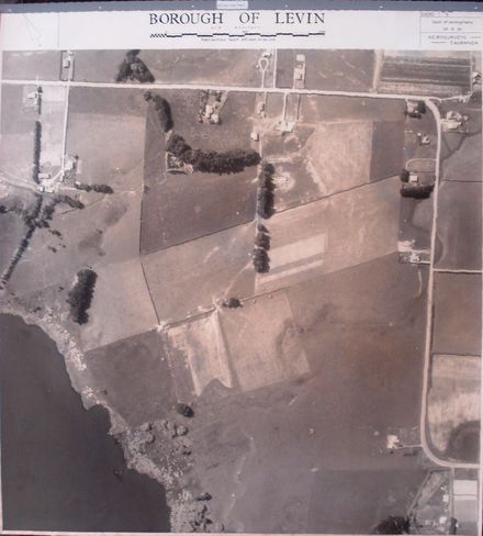
4th ‘track’ (9 photos) – begins at Bolton Road & State Highway 1 intersection and ends at Queen Street & Oxford Street intersection.
Closer Inspection shows that the photo includes:
Running N/S: Oxford Street, Cambridge Street, South Service Lane, Weraroa Road
Running E/W: Bath Street, Durham Street, Power Street, Stuckey Street, Queen Street, Kent Street
Also: Goldsmith Crescent
Any use of this image must be accompanied by the credit “Horowhenua Historical Society Inc.”
Identification
- Date
- September 28, 1964
Related items

Taxonomy
- Community Tags
Related items