
 https://d28dhd8eubcyz4.cloudfront.net/iiif/2/curtis-production2-cache%2F6210%2F7%2F4%2F521678-bd17-4735-b5e9-0a6f5e468da6%2Fresize_master_75ec475d0d608958f17a64c52415037f.jpg/full/!880,1024/0/default.jpg?sig=38ac7c4e0d444150a8510da4a7d31eda71b59f1e&ver=1580150718
Aerial survey photograph (Levin)
- Description
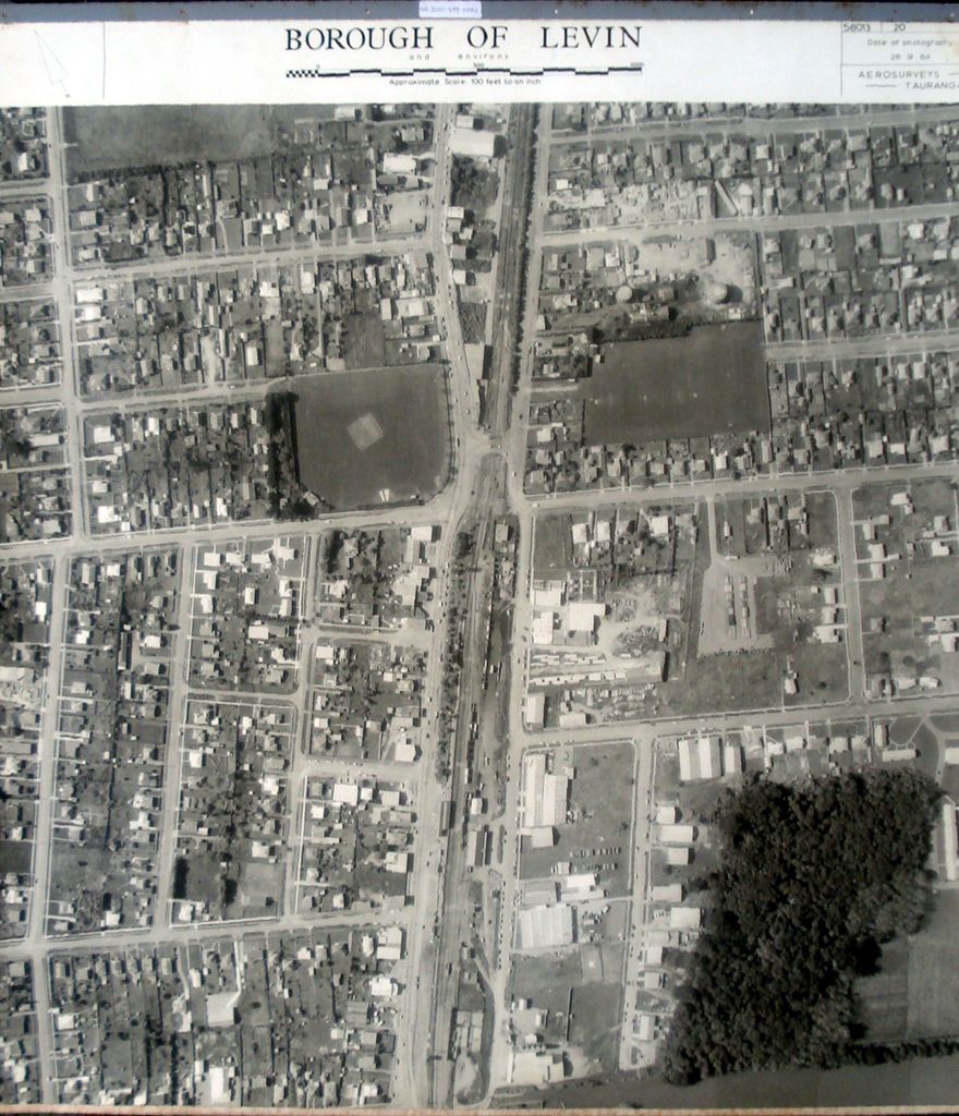
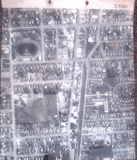
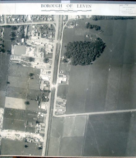
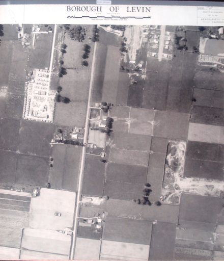
Printed with black ink above photo, from left to right - - at left – an arrow pointing upward to the left, indicating the direction of North. - at centre - Borough of Levin and environs. [figure, a length scale] Approximate Scale: 100 feet to an inch. - at right - Serial No. 58013 Set No. 20 Date of photography 28.9.64 Aerosurveys – Tauranga.
Has fabric backing (for stiffness & added strength) with fabric tape around edges (to reduce damage to edges during handling) and mounted at top in steel bar (similar to those used in filing cabinets).
See also – Acc. #2001.098.0044 smaller copy.
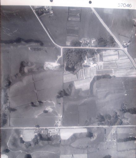
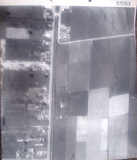
2nd photo (of 6) on 4th ‘track’ 1 B&W photo print
Urban Levin. State Highway 1, Main Trunk Railway Line & Cambridge Street (centre, top to bottom) with Railway Station and railyards (centre). Weraroa Domain (left, above centre). Levin Gas Works & Cambridge Street Park (right, above centre). Prouse Bush Reserve & farmland (bottom right).
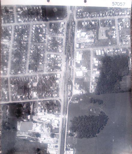
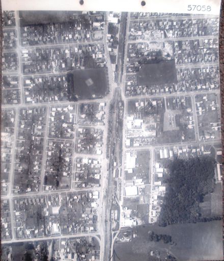
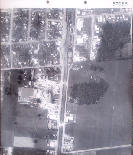
4th ‘track’ (6 photos) – begins at State Highway 1 & Tararua Road and ends at State highway 1 & Avenue North intersection.
See also – Acc. #2001.098.0044 smaller copy.
Any use of this image must be accompanied by the credit “Horowhenua Historical Society Inc.”
Identification
- Date
- September 28, 1964
Related items
Taxonomy
- Community Tags
Related items