
 https://d28dhd8eubcyz4.cloudfront.net/iiif/2/curtis-production2-cache%2F6210%2F1%2Fc%2Fed5ac9-dfa4-42f7-827c-1e1faa3f6a92%2Fresize_master_37c7f736e01df24b98b4aed07fa40180.jpg/full/!880,1024/0/default.jpg?sig=d15c9ffa446ee18c628a009cf82691ac22c219a5&ver=1580150717
Aerial survey photograph (western Levin) 1st 'track'
- Description
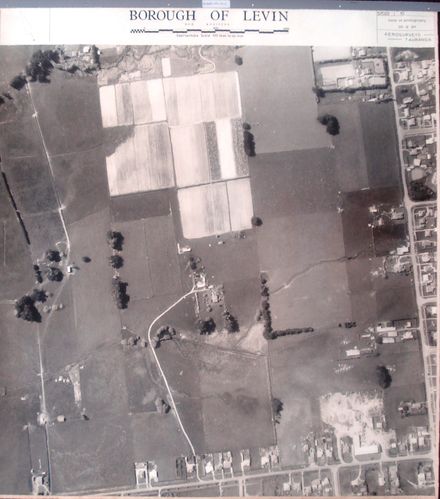
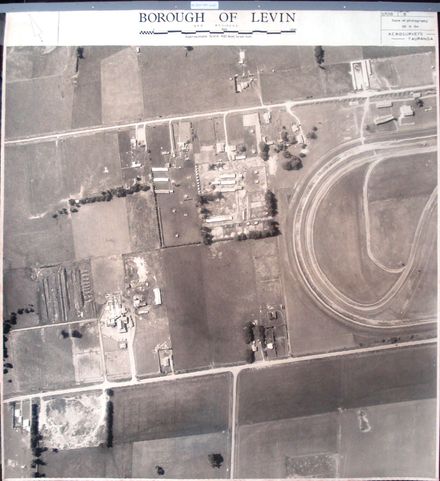
Printed at top right of photo, as identification number – 57006 + Printed at top of photo to indicate centre of next photo in sequence. ^ Printed at bottom of photo to indicate direction of flight path when photo taken.
Stamped on back with black ink - AEROSURVEYS, Tauranga. Churchill Buildings, Grey Street. Telephone 57. P.O. Box 231. 28 SEP 1964. Approx. Scale: 4 chs. to an inch.
Fabric tape glued at top, on back (for tear resistance) with 2 holes punched for placement in ring-binder.
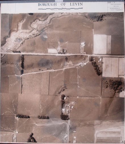
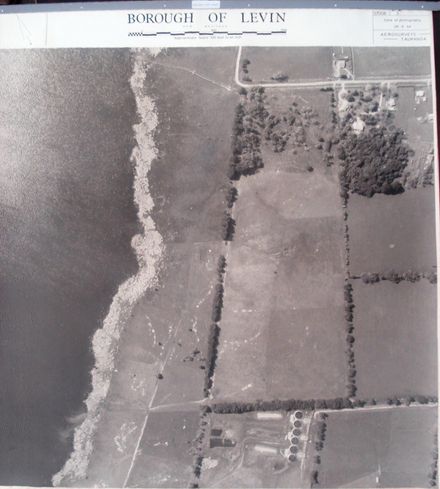
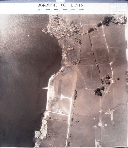
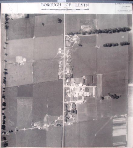
5th photo (of 12) on 1st ‘track’ 1 B&W photo print
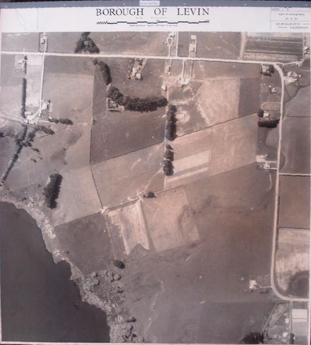
Farmland. Lake Horowhenua (left), & Queen Street West (top right), with sewerage treatment ? tanks & ponds (bottom).
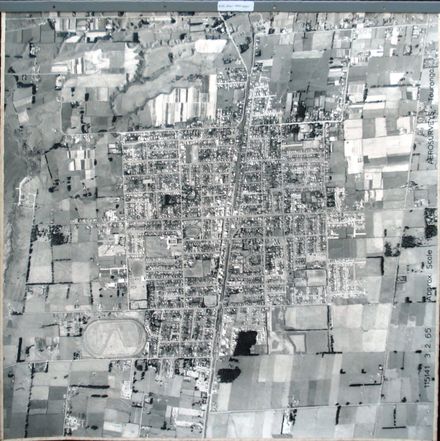
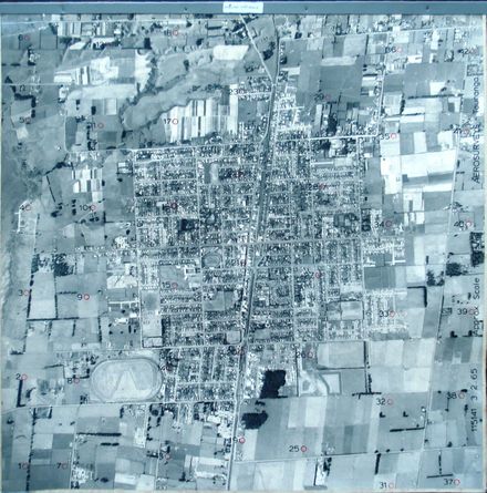
1st ‘track’ (12 photos) – begins just south of Hokio Beach Road & just west of C.D. Farm Road, passes along the eastern shore of Lake Horowhenua and ends just north of Lindsay Road.
Any use of this image must be accompanied by the credit “Horowhenua Historical Society Inc.”
Identification
- Date
- September 28, 1964
Related items

Taxonomy
- Community Tags
Related items