
 https://d28dhd8eubcyz4.cloudfront.net/iiif/2/curtis-production2-cache%2F6210%2F1%2F9%2Faf9449-92f6-40c3-8353-6bc0cea96434%2Fresize_master_fccb377ddc3c87c69dae24bd5efdae83.jpg/full/!880,1024/0/default.jpg?sig=4917e25143464f5927a8477372468cad50bf1e67&ver=1580151172
Aerial survey photograph (western Levin) 2nd 'track'
- Description
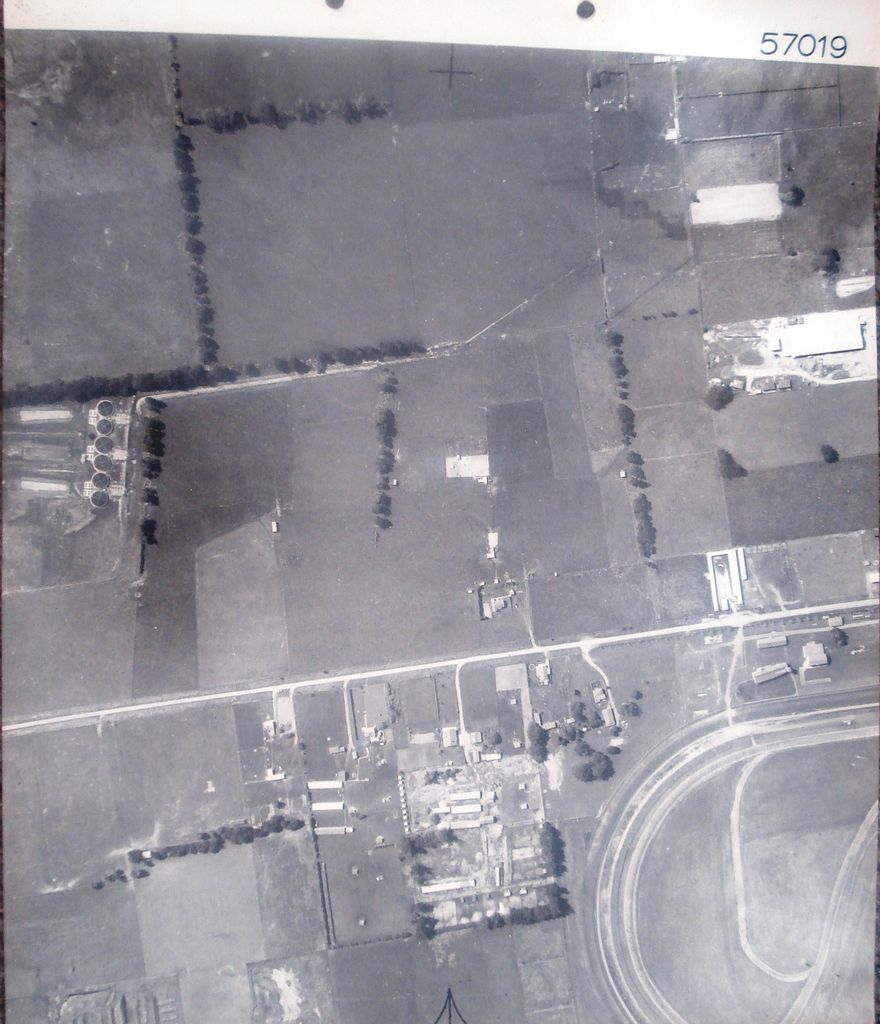
Printed at top right of photo, as identification number – 57019 + Printed at top of photo to indicate centre of next photo in sequence. ^ Printed at bottom of photo to indicate direction of flight path when photo taken.
Stamped on back with black ink - AEROSURVEYS, Tauranga. Churchill Buildings, Grey Street. Telephone 57. P.O. Box 231. 28 SEP 1964. Approx. Scale: 4 chs. to an inch.
Fabric tape glued at top, on back (for tear resistance) with 2 holes punched for placement in ring-binder.
5th photo (of 13) on 2nd ‘track’ 1 B&W photo print
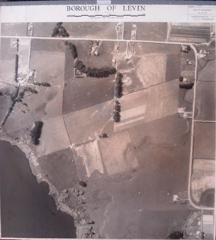
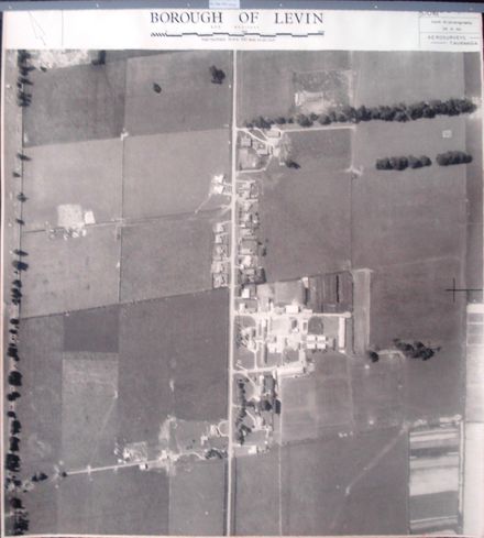
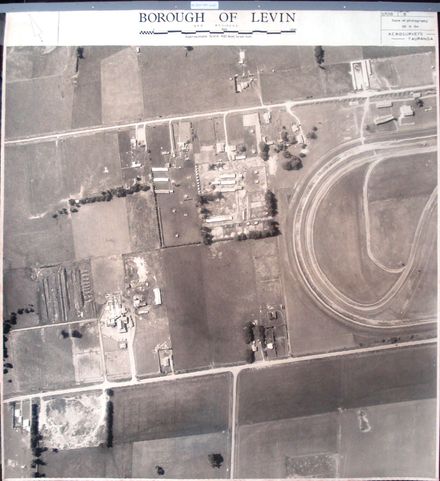
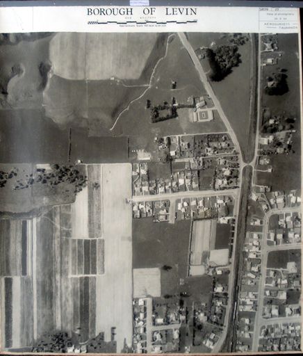
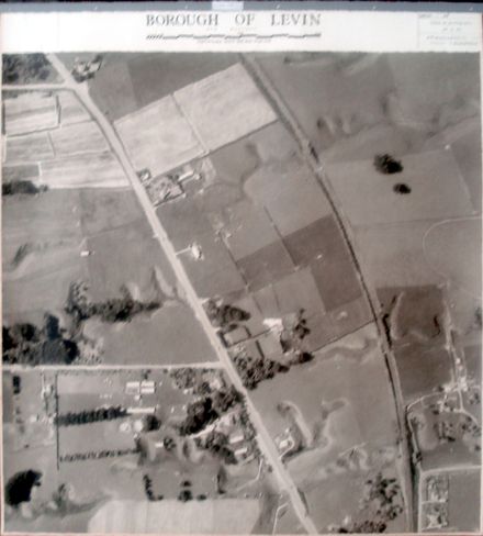
Farmland. Mako Mako Road (below centre, left to right) with sewerage treatment ? tanks & ponds (left) & part of Levin racecourse (bottom right) & part of Levin abattoir (bottom left) .
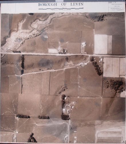
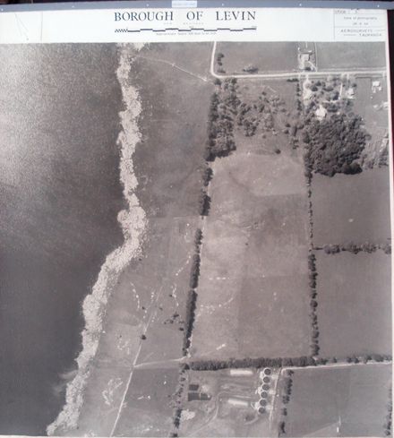
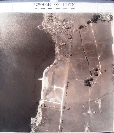
2nd ‘track’ (13 photos) – begins at Whelans Road & C.D. Farm Road intersection and ends just north of Lindsay Road.
Any use of this image must be accompanied by the credit “Horowhenua Historical Society Inc.”
Identification
- Date
- September 28, 1964
Related items

Taxonomy
- Community Tags
Related items