
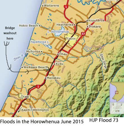
 https://d28dhd8eubcyz4.cloudfront.net/iiif/2/curtis-production2-cache%2F6210%2F0%2Ff%2F377bbe-f94d-4082-94e0-d375c1a9a980%2Fresize_master_35be52435ab78b024116eb502625e69d.jpg/full/!880,1024/0/default.jpg?sig=c9150ee4116f11a2063d1dd2e92eb00e91d0617f&ver=1580150905
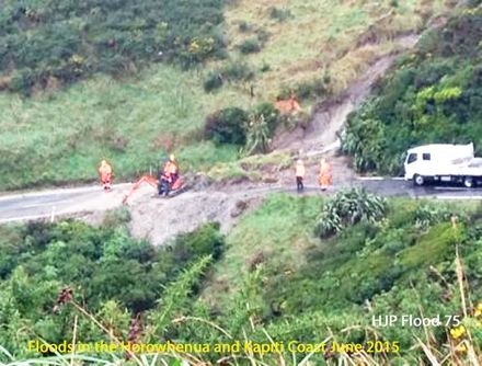
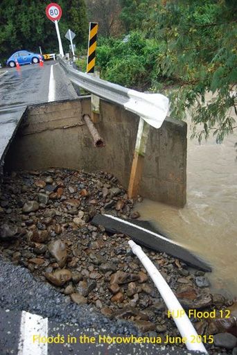
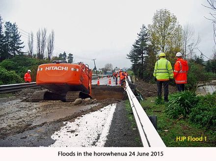
Flood 63 A newly resealed section of Waikawa Beach Road washed out Photo Mark Mitchell
Object type:Image
Identification
- Date
- June 25, 2015
Related items
Taxonomy
- Community Tags
Related items