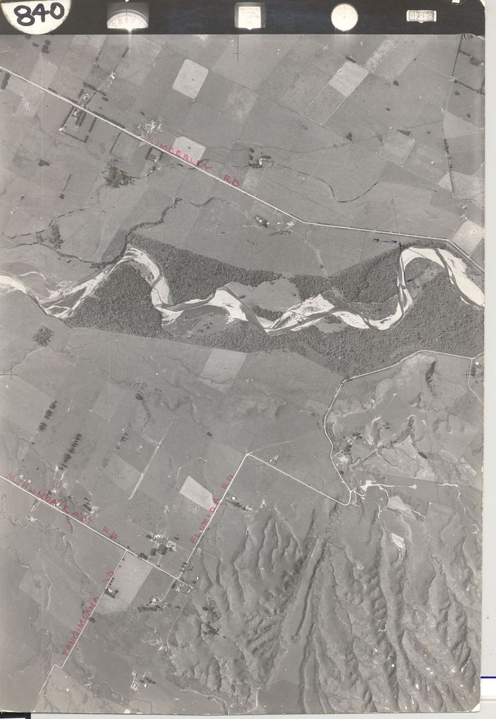
Number at side of photo – 840
Written on back – Ohau River Attached to report of proposed crushing plant for Horowhenua County Council, 27th Jan. 1950
Stamped on back - CROWN COPYRIGHT Additional copies of this Photograph can be obtained on application to the Surveyor-General, Lands and Survey Dept., Wellington.
Also stamped on back – N.Z. Aerial Mapping Ltd, Hastings Also stamped on back with red ink – Maud, Kirk Machinery Limited
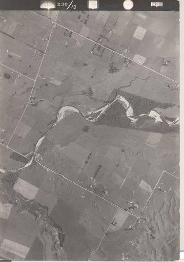
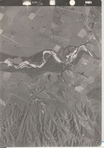
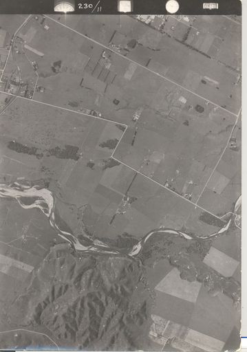
Aerial view of Ohau River between Muhunoa East Road and Kimberley Road, 1942
Identification of roads written on photo with red pen.
One of 2 overlapping photos of the Ohau River between Muhunoa East Road and Gladstone Road (see #.0004b). See also – #.0003a, b & c Ohau River from Ohau to Gladstone Road. These two sets of photos overlap each other.
Any use of this image must be accompanied by the credit “Horowhenua Historical Society Inc.”