Peke atu ki ngā rauemi

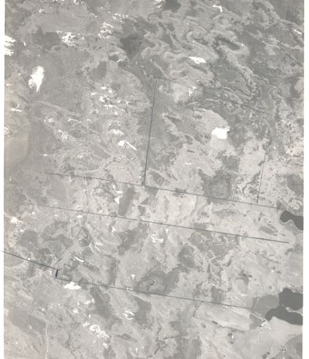
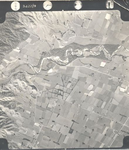
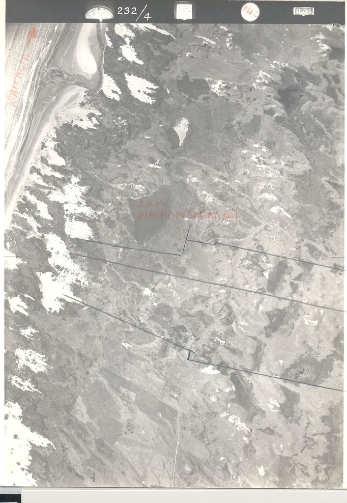
Number at side of photo – 232 / 4

Written on back – North end of R.O.W. off old coach Rd (golf links) Taken 11-2-42

Stamped on back - CROWN COPYRIGHT Additional copies of this Photograph can be obtained on application to the Surveyor-General, Lands and Survey Dept., Wellington.

Also stamped on back – N.Z. Aerial Mapping Ltd, Hastings

Aerial view of Waikawa River mouth and Lake Wairongomai, 1942

One of 2 overlapping photos of the Ohau River between Muhunoa East Road and Gladstone Road (see #.0005b).

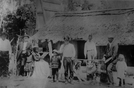
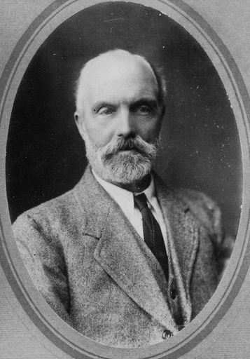
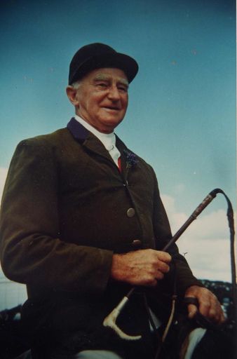
Any use of this image must be accompanied by the credit “Horowhenua Historical Society Inc.”

Tautuhi

Momo rauemi
Image

Ngā rauemi e whai pānga ana

Wilf Lincoln standing beside truck loaded with bales of wool, 1951
Whalebone Taiaha and comb
Greenstone koropepe-hei-matau amulet
Land inland (east) from Lake Wairongomai, 1942
Group in Front of Thatched Slab Cottage, c.1910
Samuel Rolston, Snr.
Bill Swainson
Ohau River, 1965
Felling White Pine in Levin district, c.1904
Tramping Party, c.1930's
Group in Orchard

Hanganga

Te kaihanga

Te manatārua

Pūnaha whakarōpū

Ngā tūtohu
hhs photograph collection,
horowhenua,
Tūtohu Hapori

Tuku kōrero mai mō te whakararu

Ngā rauemi e whai pānga ana

Wilf Lincoln standing beside truck loaded with bales of wool, 1951
Whalebone Taiaha and comb
Greenstone koropepe-hei-matau amulet
Land inland (east) from Lake Wairongomai, 1942
Group in Front of Thatched Slab Cottage, c.1910
Samuel Rolston, Snr.
Bill Swainson
Ohau River, 1965
Felling White Pine in Levin district, c.1904
Tramping Party, c.1930's
Group in Orchard