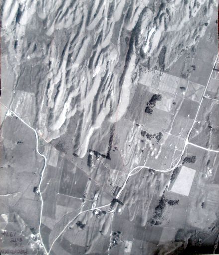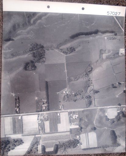
Printed on label glued to back - CROWN COPYRIGHT Survey No. 1575 Run No. 3422/7 Date 15.4.65 Approx. Scale 5 chains N.Z. Aerial Mapping Ltd. P.O. Box 6 Hastings. {graphic logo at right with words – N.Z. Aerial Mapping Ltd. Hastings.}
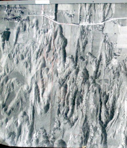
See also – #2001.099.0045a & b (proposed tip site, 1974) on same “hanger”, in lockable steel case.
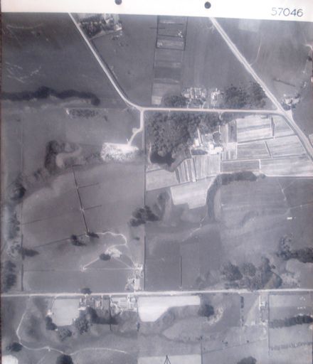
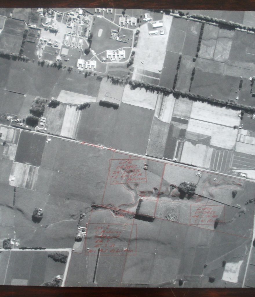
Aerial photograph (proposed tip site ? 1974) 1 B&W photo print
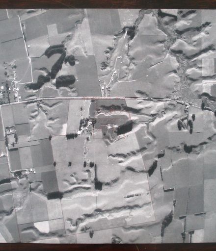
Kimberley Road (top right) with Kimberley Centre (top centre). McLeavey Road (centre, left to right) identified with red pencil as McLeavie Rd. Muhunoa East Road (bottom left). Arapaepae Road (right, top to bottom) identified with red pencil. Red pencil lines drawn on photo to show various properties & boundaries, including – Lot 13 OP2463 24.3. 27.30 T.E. & Mrs P.M. Peterson (below centre). Sec 3 5 S. Muhunoa Settlement Blk V 45.3.30 Mrs M.J. Robertson (bottom). Lot 14 OP 2463 44.3.10.40 C.W. Brown (Bottom right).
See also – #2001.099.0045a & b (proposed tip site, 1974) on same “hanger”, in lockable steel case.
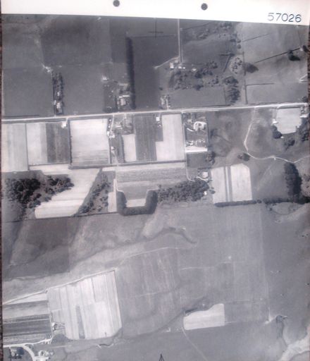
Any use of this image must be accompanied by the credit “Horowhenua Historical Society Inc.”