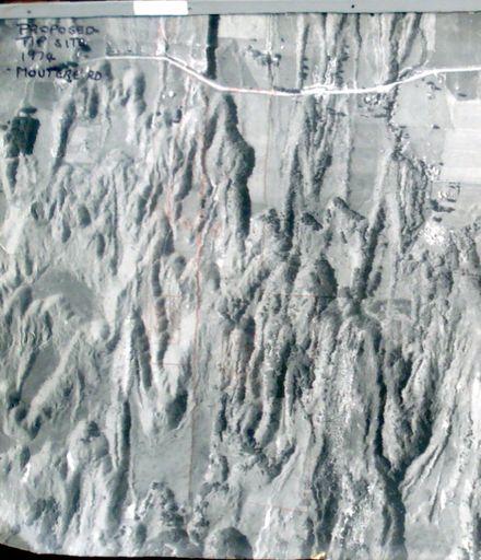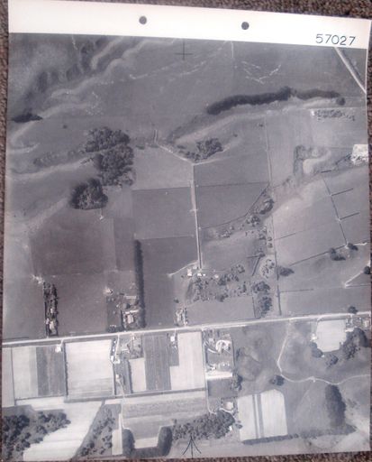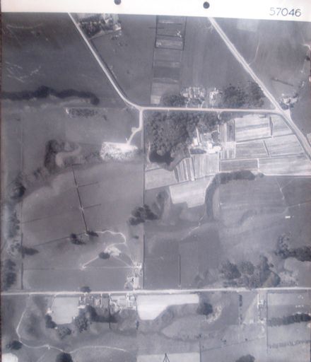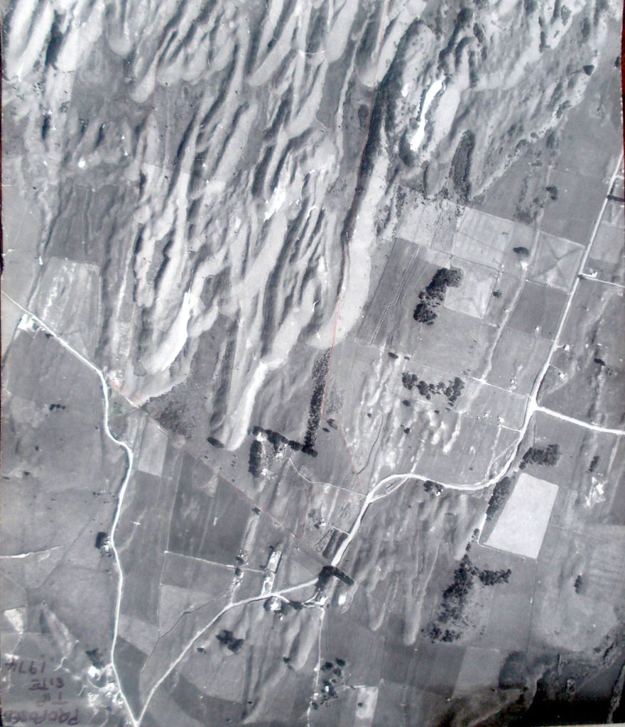
Written top right with black felt-tip pen - Proposed Tip Site 1974.
Printed on label glued to back - CROWN COPYRIGHT Survey No. 1575 Run No. 3420/4 Date 15.4.65 Approx. Scale 5 chains N.Z. Aerial Mapping Ltd. P.O. Box 6 Hastings. {graphic logo at right with words – N.Z. Aerial Mapping Ltd. Hastings.}
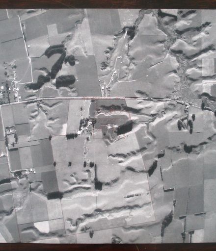
Mounted at top in steel bar (similar to those used in filing cabinets) with #.0045a
Aerial photograph (proposed tip site, 1974) 1 B&W photo print
Hokio Beach Road (top right to bottom left) with Moutere Road ? intersection (left) & Hokio Sands Road (right). Red pencil lines drawn on photo to show proposed boundary ?
Mounted in steel bar (similar to those used in filing cabinets) with #.0045a
Any use of this image must be accompanied by the credit “Horowhenua Historical Society Inc.”