Skip to Content

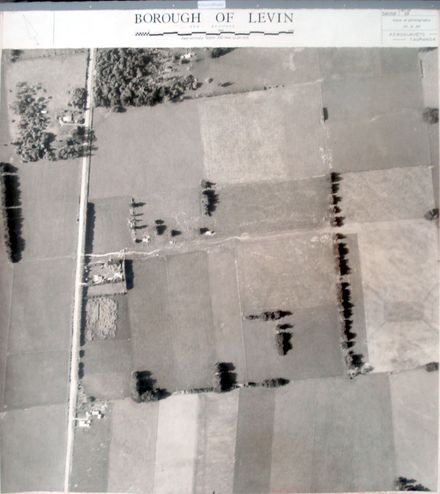
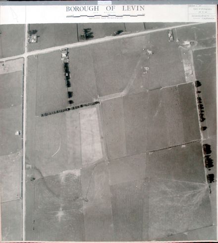
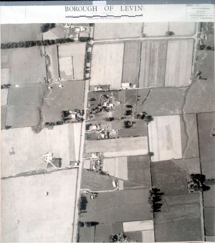
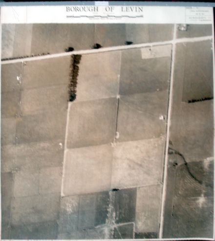
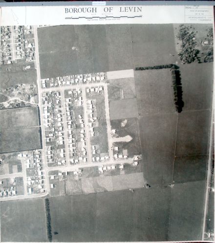
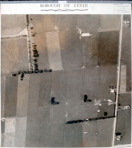
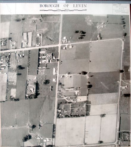
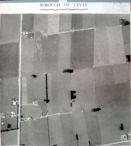
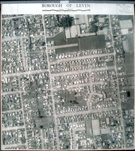
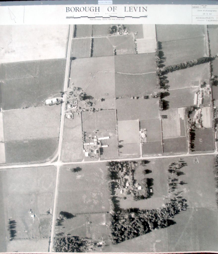
Printed with black ink above photo, from left to right - - at left – an arrow pointing upward to the left, indicating the direction of North. - at centre - Borough of Levin and environs. [figure, a length scale] Approximate Scale: 100 feet to an inch. - at right - Serial No. 58060 Set No. 40 Date of photography 28.9.64 Aerosurveys – Tauranga.

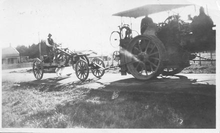
Has fabric backing (for stiffness & added strength) with fabric tape around edges (to reduce damage to edges during handling) and mounted at top in steel bar (similar to those used in filing cabinets).

4th photo (of 6) on 7th ‘track’ 1 B&W photo print

Farmland. Arapaepae Road / State Highway 57 (left, top to bottom). Queen Street (centre, left to right).

7th ‘track’ (6 photos) – begins south of Tararua Road and ends at Roslyn Road.

Any use of this image must be accompanied by the credit “Horowhenua Historical Society Inc.”

Identification

Object type
Image
Date
September 28, 1964

Related items

Aerial survey photograph (Levin)
Construction of Queen Street
Aerial view of Levin with Street Names
big changes to this area (watch this space)

Creation

Created By

Object rights

Taxonomy

Tags
arapaepae rd,
levin,
levin aerial survey photographs,
queen st,
state highway 57,
Community Tags

Report a problem

Related items

Aerial survey photograph (Levin)
Construction of Queen Street
Aerial view of Levin with Street Names
big changes to this area (watch this space)