Skip to Content

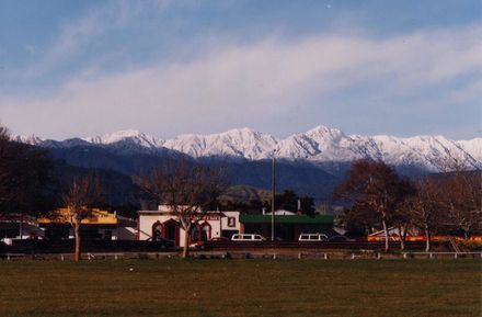
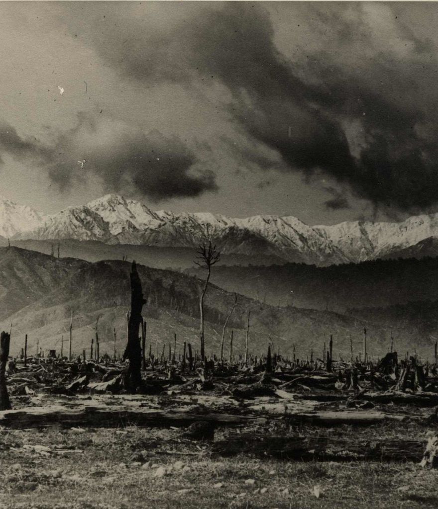
Inscription on reverse reads: “Tararuas from Queen Street East about 1912. Lent by Mrs Aitcheson. Copied by Frank Bryce, March 1979.”

The Tararua Range from Cheslyn Rise, Queen Street East c1912. In the foreground are stumps and burnt out tree trunks, the result of burning the native bush so the land could be used for farming.

Any use of this image must be accompanied by the credit “Horowhenua Historical Society Inc.”

Identification

Object type
Image

Related items

Another view of the Memorial Trig on 'Twin Peak' in Tararua Range, 1981
Grave marker for Ralph Wood in Tararua Range, 1981
Ohau Hut in Tararua Range, 1981
View of Horowhenua from 'Twin Peak' in Tararua Range, 1981
Memorial Trig on 'Twin Peak' in Tararua Range in memory of Ralph Wood, 1981
Snow Capped Tararua Range
Tararua Ranges from Kawiu Road
Tararua Road
Tararua Foothills and Skyline
Tararua Range from Queen Street East
Tararua Road Skyline

Creation

Created By

Object rights

Taxonomy

Tags
hhs photograph collection,
levin,
tararua range,
tararua range tree stump,
Community Tags

Report a problem

Related items

Another view of the Memorial Trig on 'Twin Peak' in Tararua Range, 1981
Grave marker for Ralph Wood in Tararua Range, 1981
Ohau Hut in Tararua Range, 1981
View of Horowhenua from 'Twin Peak' in Tararua Range, 1981
Memorial Trig on 'Twin Peak' in Tararua Range in memory of Ralph Wood, 1981
Snow Capped Tararua Range
Tararua Ranges from Kawiu Road
Tararua Road
Tararua Foothills and Skyline
Tararua Range from Queen Street East
Tararua Road Skyline