
This text that follows is the content of the attached PDF.
By morning the bottom edges had been chafed through and the tent ripped to ribbons but the fly (an outer tent cover above the tent) had survived.
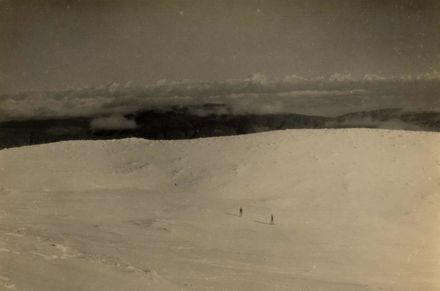
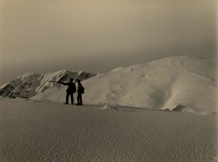
The wind was still of gale force making it impossible to stand on the ridge let alone progress upwards.
The Brocketts decided to descend down into the source of the Mangahao River by what seemed a feasible route to seek shelter.
Soon they encountered waterfalls up to 20 ft (6m) negotiated by the simple expedient of sliding down them. (At the altitude the river would have been small, really only a creek).
When a 100 feet (30m) waterfall was encountered they had to leave it and climbed onto the bank. The tussock had been replaced by low tangled leatherwood scrub and was impenetrable. Progress was only made by Mr Brockett tackling the scrub with an axe until he was exhausted.
Rain had set in again so at 10.30am they crawled under the scrub thoroughly wet, huddling under their blankets and tent fly for the rest of the day and the night with only a little chocolate and condensed milk as food, which did not require cooking.
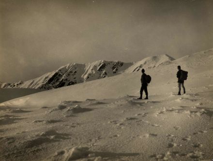
On Friday morning the wind had abated so they chopped their way out of the scrub and up to the tussock country, reaching the ridge again.
Then the summit of Dundas was attained easily.
The Brocketts decided not to carry on with the crossing to the Wairarapa so started down the ridge leading to the Mangahao.
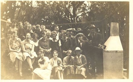
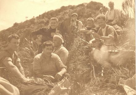
As the Brocketts were overdue on the crossing, a search party consisting of Messrs Adkin, Lancaster, Routly and Constable Gregan left Levin to search for the Brocketts.
They travelled up the Ohau River (no Ohau Track then) and on arriving at the confluence of the northern and southern Ohau the campsite of the Brocketts was found at the bottom of Deception Ridge.
The party proceeded up the ridge on Adkin’s track, then down to the Mangahao River and the Brocketts were met coming down the Dundas ridge fit and well.
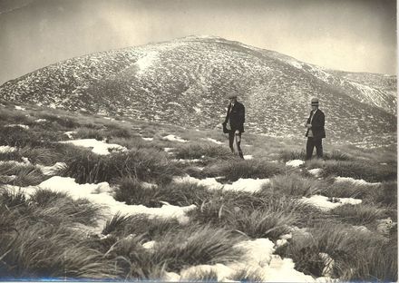
All camped by the Mangahao almost certainly on Avalanche Flat and found that it was not as difficult as it looked and the party was at the top in an hour.
Mr Leslie Adkin (a pioneer tramper from 1907) considered the steepness of the face down to the Mangahao was caused by a land slide from the top of the Main Range making Avalanche Flat, centuries ago.
From my own experience the climb would be difficult without trees and undergrowth for handholds.
Bill Gregan told my father later that the face was “1500” bloody feet (460m) straight up and down.”
He was more used to sitting in a mai mai than climbing mountains. The height is actually 1300 feet (400m).
The party descended Deception Ridge and found the Ohau in flood.
A rope had to be used for the many crossings of the river.
In 1977 a Brockett daughter told me that her mother (a small person) had said a burly policeman had carried her much of the way down the river.
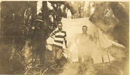
The Pipe Bridge was reached after a time of seven hours from the Mangahao.